- UNITS
- Unit 15 - The Mariner's Astrolabe
- The Game of Words
- Prof. Xue and Luk's Conversation
- An Active Reader
- Asking Questions
- Language Knots
- Test Corner
- LEARNING
♦ This introductory exercise aims to give you a feel for the sound and rhythm of the language, whilst presenting an overview of the maritime topic at hand. ♦ By reading and then listening to the accompanying audio, you’ll discover how words are pronounced and some simple sentence structures. ♦ Once you are comfortable with how the written and spoken words are connected, you’ll be ready to focus on keywords in the next exercise.
The Mariner’s Astrolabe
The astrolabe was another technological development in astronomy and navigation. The name comes from the Greek for ‘to take a star’. The astrolabe’s nautical cousin, the mariner’s astrolabe, was used by both Columbus and Magellan on both of their great voyages.
We think the astrolabe was invented by Hipparchus, an astronomer and mathematician of Ancient Greece. The knowledge of the astrolabe was then passed over to the Islamic World, where the mechanism was improved and developed. Muslims used the astrolabe for pointing to the direction of Mecca, as well as for astronomy and navigation. Europeans were introduced to the astrolabe by Islamic Spain in the 12th century.
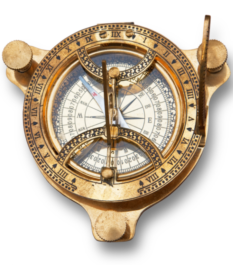
Astrolabes used on dry land were often made of gold or silver; they were very precious and valuable devices. But mariner’s astrolabes were made of brass or iron and were spherical in shape; they were designed for practical use on the ocean. Day measurements were taken at noon, when the Sun was at its zenith. The user would let the astrolabe hang so it was perpendicular to the ocean, then they lined up the two holes for the Sun to shine through. The user then read the angle measurement from the scale on the device’s degree scale on its circumference. This declination angle would be compared to a chart, which detailed the different noon angles at different latitudes. At night, the user looked through the astrolabe, and lined up the instrument so they saw the star through both pinholes. They read the angle, and then compared it to the respective star charts.
In this way, day or night, the sailor would learn their latitude, but they couldn’t know their longitude. So navigators had to find their right latitude and simply sail east or west until they reached their destination. The mariner’s astrolabe was not always accurate, on a rolling ship in high winds the angle measurement could have an error of up to 5 degrees, or 300 km. Due to these problems, the astrolabe was replaced by the sextant and the octant in the 17th century.
In 1989, Sir Robin Knox-Johnston used a mariner’s astrolabe on the same journey as Columbus to test the device’s accuracy. After crossing the Atlantic, he found he was only 20 km out on his latitude calculations, an error of less than 0.5% on the 5000km journey. Also, more recently in 2007, the US Navy stopped teaching celestial navigation, GPS was easier, more accurate, and reliable enough. Just eight years later, they started teaching the navigating by the stars again because of the cyber risk of GPS and other electrical equipment being hacked.